Geophysical Services

Deeper Understanding,
Smarter Decisions

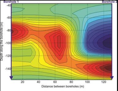
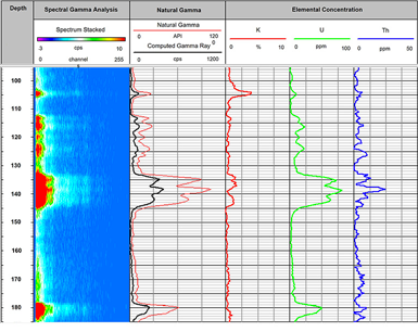
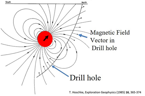
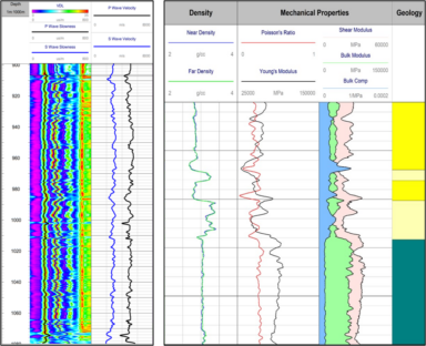
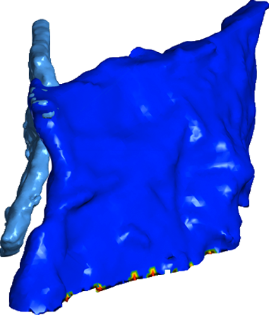
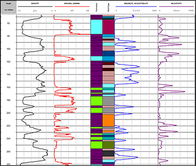
DGI Geoscience delivers high-quality downhole geophysical measurements to accurately characterize the subsurface. Our downhole data can be integrated with surface and airborne geophysical datasets to strengthen geological interpretations, refine geophysical models, and support more informed exploration decisions.

Subsurface Characterization You Can Trust 

Our geophysical services provide the data needed to differentiate ore from host rock, assess physical properties, and improve the resolution of your geophysical models. Whether you’re targeting new mineralization or enhancing your deposit model, DGI’s methods deliver clarity below the surface.

Applications 

Mineral Exploration and Deposit Modelling

Enhance understanding of ore bodies and surrounding geology.

Ground Truthing for Airborne or Surface Surveys 

Validate and refine interpretations from broader geophysical datasets.

Alteration Mapping and Structural Correlation

Identify zones of alteration and correlate them with structural features. 

Resource Estimation Support

Provide essential input for accurate resource calculations and mine planning.

Why Choose DGI? 

With over 25 years of experience and more than 1,000 projects completed globally, DGI combines industry-leading tools with expert interpretation to deliver geophysical insights that go beyond the surface. Our data quality, integration capabilities, and deep geological understanding help clients make smarter exploration and development decisions.
Get the Full Picture

Ready to improve your geophysical models and exploration strategies? 
Contact Us to discuss how our services can support your next project.