Understanding groundwater dynamics is critical to the success and safety of mining, infrastructure, and environmental projects. At DGI Geoscience, we provide high-resolution, in-situ hydrogeological data that helps you characterize hydrogeological properties, flowpaths, and manage water-related risks.


We combine cutting-edge borehole logging tools with geoscientific expertise to deliver clear, actionable groundwater insight.
We work closely with your team to define project objectives and select the most effective tools.
DGI’s geoscientists analyze the results and provide context-specific insights that drive better decisions.
We package data and interpretations into clear reports that support engineering, permitting, and long-term monitoring.
We tailor each hydrogeological investigation to your site conditions using a powerful toolkit:
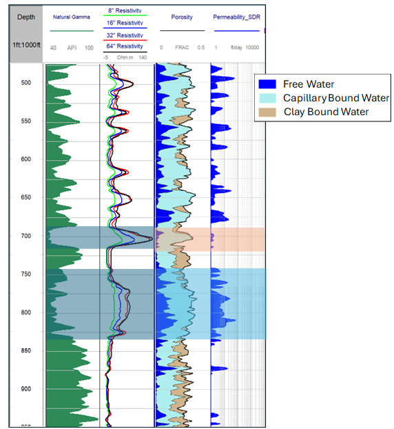
Measure porosity and permeability—distinguishing between bound and mobile fluids—without radioactive sources.
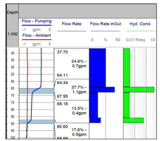
Locate and quantify flow zones and zonal hydraulic conductivity, under ambient or pumped conditions.
Locate inflow zones and evaluate water quality through precise thermal and salinity gradients.
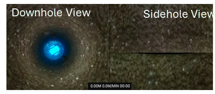
Determine verticality, deviation, and annular space before casing and pump installation
DGI’s hydrogeological services are trusted across sectors:
Understand saturation levels, assess seepage risks, and design performance monitoring systems.
Map contaminant pathways and support regulatory compliance with defensible data.
With over 25 years of applied experience, DGI is a trusted partner in subsurface data acquisition. Our hydrogeological services are grounded in science, driven by technology, and designed to support critical decisions across the project lifecycle.